Transiting the Suez Canal

We entered the Suez Canal, which connects the Red Sea and the Mediterranean Sea through the Isthmus of Suez, at its southern end at 5 a.m. on Friday, April 20, for what was estimated to be about a 12-hour transit.
The 120-mile-long canal was built by the Suez Canal Company when Ferdinand de Lesseps, a French diplomat, acquired a concession from the then Ottoman governor of Egypt to establish a company for that purpose. It opened under French control in 1869 after ten years of construction. In the early years of the project much of the work was done with forced Egyptian labor, but in time workers from many different countries participated, thousands of whom died in the process from cholera and other epidemics. Britain opposed the building of the canal from start to finish. It is a single-lane waterway with two natural lakes along its path that allow north- and southbound ships to pass each other. In the last few years portions of the canal have been widened to speed traffic and increase its capacity. Unlike most other man-made canals that by necessity include locks to accommodate elevation changes from one part to another, the Suez Canal contains no locks because the difference in mean sea level between its northern entrance at Port Said and the south at Suez is, for these purposes, negligible (4 feet higher at Suez).
When Egyptian President Gamal Abdel Nasser nationalized the canal in July 1956 and also closed the Straits of Tiran to all Israeli ships, Great Britain, France and Israel invaded Egypt and Britain and France seized control of the canal. In short order, a UN force was established to maintain the free navigability of the canal, but it wasn't reopened until April 1957 after it had been repaired and sunken ships were removed. The canal was closed again after the Six Day War in 1967 and didn't reopen until 1975.
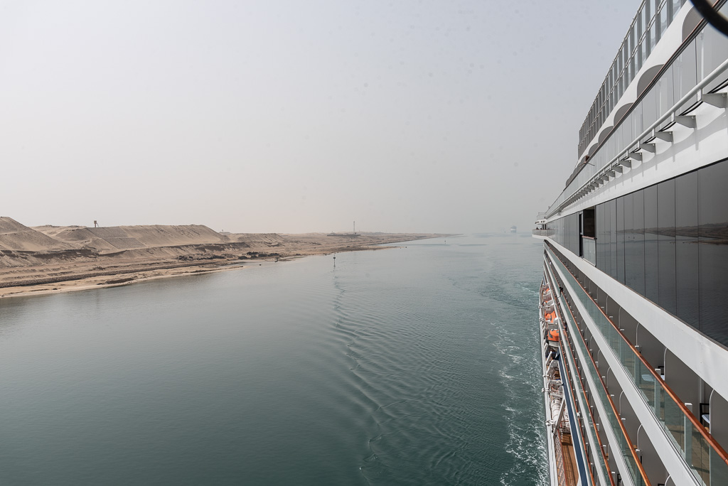
The cruise through the canal was interesting, but not as much as I thought it would be. The Sinai was on our starboard side and visually offered nothing but sand

except for the occasional sentry and maintenance station and other canal-related infrastructure. (Click on any photo to enlarge it.)
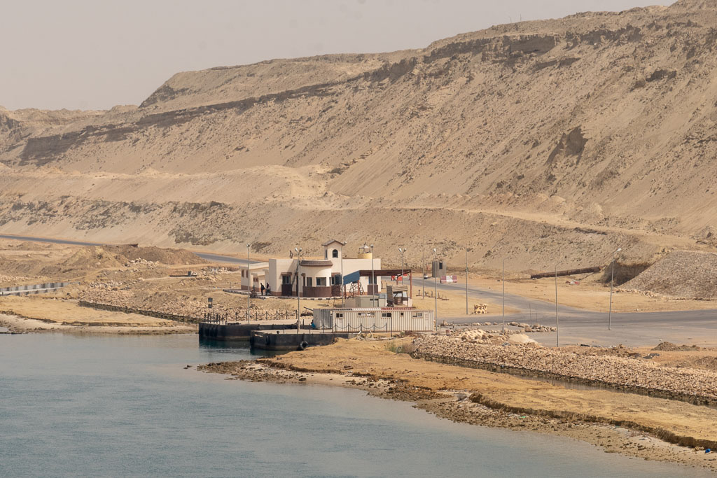


By contrast, the port side offered a good deal more variety. A lot of equipment related to the widening project that recently took place was on that side.


There were also sentry and maintenance stations and related equipment. Note the huge piles of sand. These were everywhere along that part of the canal that has been widened, apparently representing material that had been dug up as part of that project.


At a certain point a highway of some sort seemed to run along the port side of the canal.

A few times we saw several of these small boats lined up on the shore. Recreational?

We even seemed to pass a town along the way.

But there were also structures we couldn't identify in terms of their purpose.

At one point, a tug passed us on our port side.


For most of the journey we just enjoyed serene scenes like these.


There were a number of places on the ship that made for good viewing areas. Probably the most favored was the so-called Explorer deck at the forward end of deck 7. Here's what it looked like from just inside the Explorer Lounge itself.


Right behind us the whole way was the German cruise ship we first saw in Muscat, Oman, and again in Aqaba, Jordan.


This seemed the point at which we actually entered the Mediterranean, with some large, unidentified port that quickly loomed on our port side and the German ship apparently heading who-knows-where just as we turned west.


I should mention that at 4 p.m., the regular time for everyday tea and snacks, the ship's restaurant personnel outdid itself with an Egyptian theme.


Next port of call: Alexandria, Egypt.


Comments
Post a Comment